Celebrating 150 years
On 1 January 1875 the Geological Survey of NSW (GSNSW) was established, led by Charles Smith Wilkinson. Evidence showed NSW offered significant mineral resources, leading to the establishment of the Department of Mines in 1874.
History

In the late 1800s, the Geological Survey of NSW was tasked with preparing geological maps of the Colony of NSW. These maps provided information to assist in the exploration for new mineral fields and underground water resources and to collect rock and fossil samples for the Mining Museum.
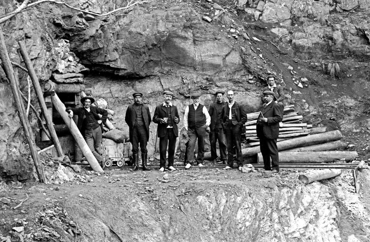
The scientific data was released in reports and publications, accompanied by a wide range of maps and plans.
Milestones and achievements
- 1875: The GSNSW published its first geological map. Compiled by CS Wilkinson, it covered the Hartley area.
- 1879: The Museum of Mining was established.
- 1882: The collections were devastated by fire, but rebuilt and the museum re-opened to the public in 1886 as the Mining and Geological Museum.
- 1883: Discovery of the Broken Hill ore deposit
- 1880s: the need for many materials in eastern NSW saw surveyors (geologists) from the Geological Survey actively involved in helping the growing mining industry.
- Late 1880s–1890s: extensive droughts saw the Geological Survey actively involved in identifying underground water supplies.
- 1928: A major publication The Mineral Industry of N.S.W. was issued.
- 1930s: Aerial mapping began and a departmental car was used in the field. The vehicle was a Chevrolet 6-cylinder roadster.
- 1950s: A systematic geological mapping program began mapping standard 1:250,000 sheet areas.
- 1974: The first NSW map showing structure and tectonic history based on plate tectonic theory was published.
- 1995: The mining museum closed and collections were re-distributed, with the prized Albert Chapman Minerals Collection sent to the Australian Museum. The museum had been in The Rocks since 1909.
- 2002: Release of MinView, a web map application making geoscientific data accessible to industry, government and the public. This award-winning product set a new standard in geoscientific data delivery and is much praised by customers.
- 2004: The head office of GSNSW was relocated from Sydney to Maitland.
- 2018: Release of the first version of the NSW Seamless Geology dataset, a statewide dataset that has created a paradigm shift in the way that geological maps and associated data are created and compiled.
Key events in 2025
9 May
Exploration in the House, NSW Parliament House.
18 June
Symposium and dinner marking the 150th anniversary of the GSNSW, NEX Newcastle.
9–17 August
National Science Week – a series of events supporting geoscience education and showcasing the latest geoscientific technology supporting exploration for critical minerals at the WB Clarke Geoscience Centre in Londonderry.
Stories from the archives
Founders of the Geological Survey
In the 1840s the discovery of copper at Carcoar, Molong and Bathurst, iron ore at Berrima and unconfirmed reports of gold west of the Blue Mountains, prompted the government to take action.

A historical look at International Day of Women and Girls in Science
It was 1966 when Roslyn Kerr (nee Uren), Elizabeth (Liz) Crawford and Jennifer Thompson became the first female trainees to join the then Department of Mines. Meet some of the women, past and present, of the Geological Survey of NSW.

The history of NSW Resources: from the Department of Mines to now
The evolution of NSW Resources traces its roots back to the Department of Mines, which was established in 1874.

150 years of geological discovery — a legacy of science and innovation
Coinciding with the celebration of 150 years of the Geological Survey of NSW, the Survey is proudly remembering the publication in 2017 of the 150th issue of its renowned Quarterly Notes.